 |
| We decided to do this hike after how crowded the last one was. We have gone here before and knew it was hardly traveled. We start at the Deer Creek Trailhead. It was flooded out last time and we had to wade across the road to the trailhead. This starts up with many trees along the way. Follow the signs for rosalie and Tanglewood trails. |
 |
| There are many rocks and boulders on the trail. Poles come in handy. |
 |
| The trail split comes at about 1.1 miles Rosalie Trail turns off here to Guanella Pass here but you want to keep right. The trail now begins to get steeper, rockier and thinner. |
 |
| You basically follow a creek along the trail. There are three bridge crossings: bridge, some rocks, and another bridge. |
 |
| About 2.6 miles from the trailhead the trail crosses Tanglewood creek a final time and turns away from the stream and the switchbacks begin. They are not terribly steep. |
 |
| Here is an occasional meadow. |
 |
 |
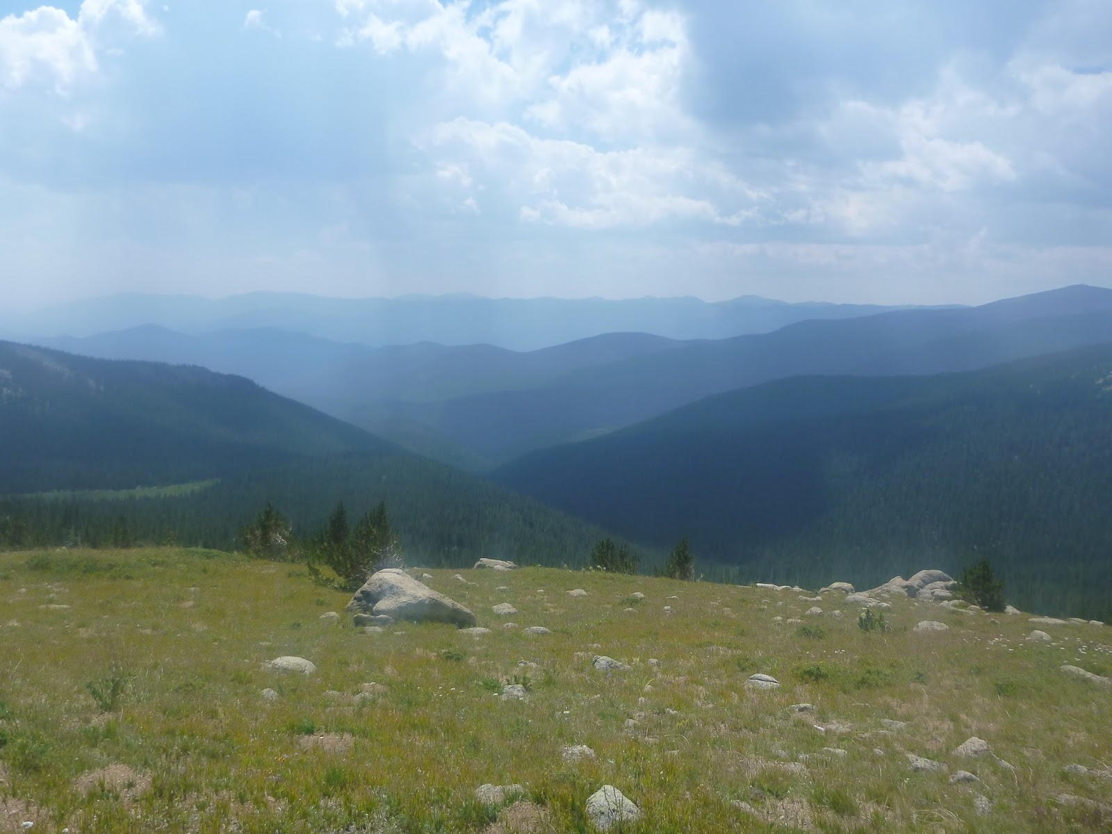
| Finally the woods open up to see some views. |
 |
| Heading to the saddle at about 3.5 miles we come to the tundra area. The trail will gain 600 feet in the next .7 miles. Take lots of breaks to enjoy the views. |
 |
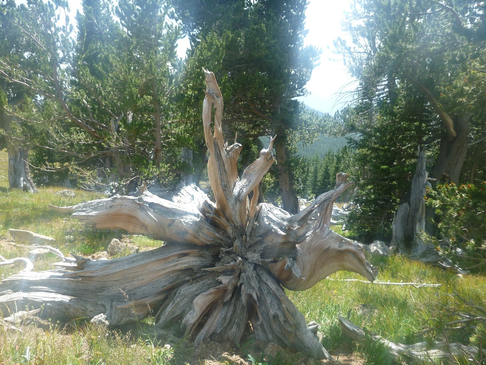
| There are bristlecone pines just before you get to the top. You can make it! These trees are 2000 years old. |

 |
| After the pines a bunch of scree leads up to the amazing views. |
 |
| This was a great place to have our lunch. You can see mount Evans from here and the road going up. |
 |
| Views from all directions at the saddle. If you want to go further you will reach Roosevelt Lakes. But is is down and then you have to go back up. Some people were camping and fishing down there. They planned to come back the next day. |
 |
| Heading back down. This hike is 7 miles round trip with an elevation gain of 2650. |
We hiked this trail 6-18-17. We didnt make it to the top. River was running so fast and there was patches of mud on the way up. A few patches of snow.
ReplyDelete