Saturday, September 28, 2013

Three Mile Creek Hike / Guanella Pass

This Hike heads into the Arapahoe National Forest and Mt Evans Wilderness through shady forest and lots of stream crossings.

The night before it snowed so this is what we saw on the first bridge crossing.


We got started early at 8:30am on the trail. The beginning was quite dark (and cold) about 40 degress because the forest was very thick.

After a while we passed through some meadows.

The aspen trees were beautiful in some parts.


The "three mile creek" was running very swift. The bridges had some snow and ice on them. We had to be careful crossing. Actually we turned around here because my partner fell in the creek. It was very slippery and cold. We had gone 2.5 miles.


This is the trail as it goes through some large rocks. We had to look for the trail again.

This was the view from the next trailhead up called lake abyss trail.


We drove North to Guanella Pass and onto Georgetown for some beautiful fall views of the Aspens. Next time we will be sure of no snow the night before.

Saturday, September 21, 2013

Tanglewood Trail near Bailey

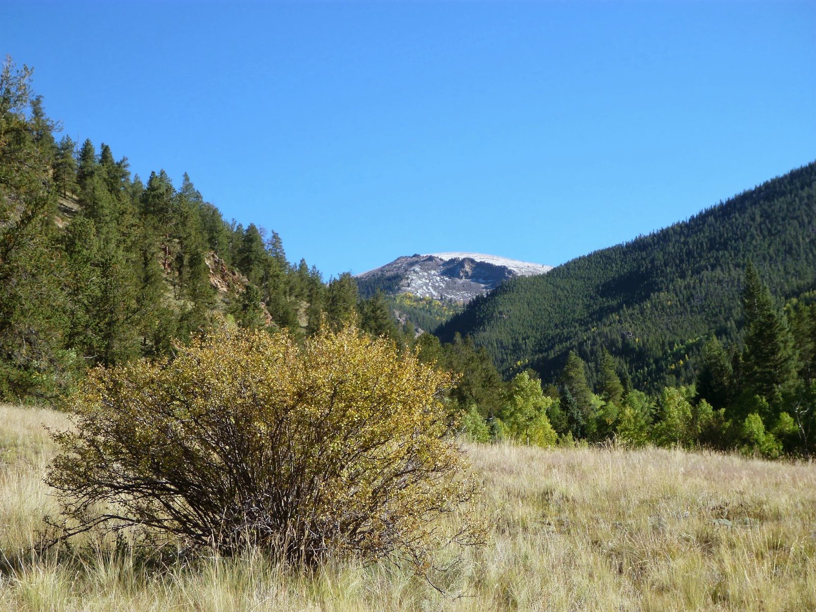
This trail starts in a large parking lot normally but when we tried the road was washed out and closed to get to the trailhead. Our first adventure was to take off our shoes and wade across the 2 ft of water to get to the road. This added another 2 miles to the hike. (one mile each way to get to the trailhead) This was after the flooding in Colorado-mainly Boulder area. I guess they got their share of rain as well in Bailey. Directions are to start heading south on 285 to Bailey, then  head right on county road 43A for 6 miles till you get to CR 43, veer to the left. It will become a dirt road, pass a campground and will eventually dead end at the trailhead/parking lot.

This trailhead serves the Rosalie Trail as well. There are two signs marking the trail.

Here you can see the water running through the trail. This hike really tested the waterproofness of our boots.

There are about three crossings that were washed away . We used logs and got creative at each stream.

Enjoy the sounds of the water crashing over the rocks.

The hike begins on an old dirt road.

The aspens were just beginning to change.


Another crossing. It seems the bridge had floated down a bit.

About 1.1 miles into the hike the two trails separate. Keep straight for the Tanglewood Trail.


The trail begins to get steeper and rockier and thinner as it goes into the forest.


The trees change to evergreen as you climb higher.

The trail will become wet, and boggy since it sticks close to the creek.

We did not make it to the saddle because we added the 2 miles onto our distance. We ended up with  9.55 miles and 2,040 elevation gain. Next year we will make it to the saddle and start at the trailhead.

Heading back.


This was a creative crossing. The bridge was washed down the river. We backtracked until we found some logs to get across.


If you continue onto the saddle, you will reach 11,742' via steep switchbacks. And further still to Roosevelt Lakes. We passed many backpackers who make it to the lakes and spend the night, hike back the next day.

Saturday, September 7, 2013

Black Bear/Mule Deer/Horseshoe Loop Golden Gate Canyon State Park

There are many different trails in Golden Gate Canyon Park. They have different animal names and tend to criss cross each other. Its important you know where you are going with good directions. We didnt find the map terribly helpful. We started at the Ralston Roost Trailhead just past the Visitors Center. Total mileage was 5.2 miles with a 1,370 elevation gain. There is an entrance fee of $7. The trail starts off with a steep climb on the Black bear trail.

The trail goes up and down through trees and boulders. Here's what a part of the trail is like.

Here's one of the pretty views along the way.

Keep looking for the brown metal markers with the animal symbol  to help you stay on the trail.

A couple times we got off the trail but found our way again.

Awesome views of Mt Evans, continental divide and Gray and Torreys Peaks.


This time of year we saw many shapes sizes and colors of mushrooms.

There was some scrambling up a few of the boulders but not down as we went back another way on the loop.

Here was the place we ate our lunch. There are rocks to sit and enjoy the view.


The trail finally descends to a field of aspens. Here you connect to Mule Deer trail. At the first trail sign you want to turn left, and in a few yards then turn right. Most of mule deer is flat. At the next junction turn right onto Horseshoe trail.


This trail descends to another trail sign to take a right crossing over a small wooden bridge and follow this trail all the way to the Black Bear and Horseshoe trail junction down to the parking lot.

Tuesday, September 3, 2013

Chicago Lakes Mount Evans Wilderness


Begin the trail at Echo Lake. Here is the lodge that is handy for bathroom, drinks and good pie i'm told. Park near the ranger fee station but you dont have to pay because its before the station. The trailhead begins just below the station opening in the woods.
Add caption
The trail begins in a forest as you hike around echo lake from a distance.  You can get glimpses of the lake along the trail.
Soon you are hiking along a ridge with some great views.
There are switchbacks that head down. Unfortunately you will be hiking back up at the end.

When you come to a swift river crossing you meet up with a road used to maintain the reservoir. Notice how to get back to the trail.

Head down the road for about a mile. we saw a truck drive in collecting mushrooms.

After you pass the cabins you will begin climbing.

You will pass a burn area from 1978. Take in the amazing views. For the next 1.5 miles , the trail climbs then evens out and climbs again and evens out


This was a waterfall that you had to climb down onto.It was obstacles in addition to the muddy areas we had to avoid. You would sink down upto your boots. Poles were helpful here.
At this point the trail gets more difficult as you manuver around boulders and rocks.
Here is the pond before the first lake. It is actually connected so you are really close.


Here is the glorious view of the first Lake. This is as far as we got. A lovely place to eat our lunch. We were tired and the clouds were getting darker.

This is a close up of the first lake mountain view. There is a waterfall.

Heading back you can see the trail is covered in rocks.

When we returned to the maintenance road, there was hail on the ground. At this point it began to rain steadily. This was a great time of year to do this hike. Just make sure there is no lightning in the forecast. We started early 8:30 but still hit rain. Total mileage was about 9 miles. Elevation gain 1,500. Start at 10,320 ft up to 11,420. I read its another half mile to the second lake. Next year we will get there.