 |
| This trail starts off easy and level parallel state road 62 |
 |
| Here's the creek that we follow and cross off and on |
 |
| There are beautiful views at the start of the hike. |

 |
| Here is the view from a meadow about halfway to the cabin. |
 |
| The trail narrows and starts climbing. |
 |
| At one point you hike right through a cow pasture. Some of the land is private you will see as you drive to the trailhead. |
 |
| This cabin is at the 2.2 mile mark and is a good place to turn around. If you continue , carefully watch for this stream crossing to find the rest of the trail. (We got lost for a while and retraced our steps) The trail is wonderfully marked by blue diamond markers the whole way. We kept looking for that blue diamond and found the trail. |
 |
| After this crossing, the trail gets quite steep for one more mile to the top of the ridge. |
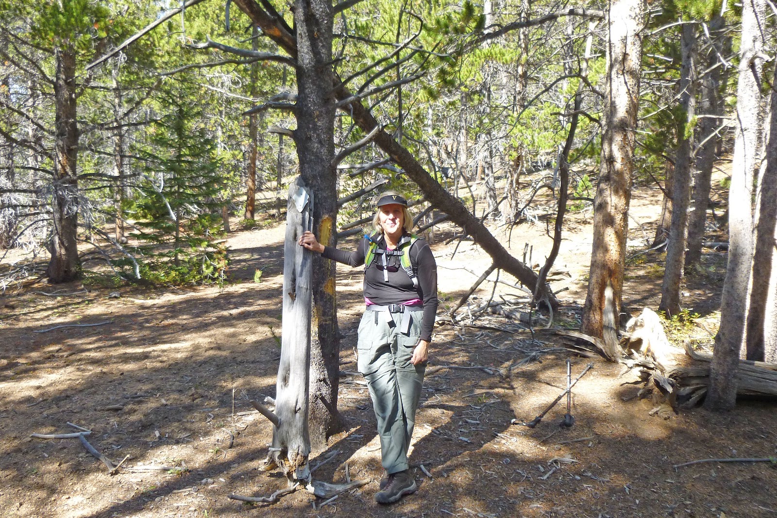 |
| This is the anticlimatic top that is marked by this old stump and triangle metal markers. There is no view and the trees do not open up to see anything. :( |
 |
| Heading back down we stopped to finish our sandwich to this view. I found some old brick ruins from an old house. Bring a collapsible stool if you have one. See Doug sitting on his. |
 |
| Heading back down , the aspens were in their golden glory. |


 |
| When you get to the boardwalk, you are almost back. |
 |
We drove north after our hike over Guanella Pass and saw great colors. This road eventually took us to hwy 70 and Georgetown. |
No comments:
Post a Comment