Thursday, July 10, 2014

Hiking in Switzerland from the Schilthorn

Our best view of Schilthorn. James Bond would not be happy.
This was our first view of the Swiss Alps from our bus.  This is Lake Lungerze a typical U shaped glacier runoff lake.  We stayed in the town of Lauterbrunnen situated with Jungfrau on one side and Schilthorn on the other. There was convenient bus transportation to the lifts for the trailheads.


We chose a hike on Mount Schilthorn. We rode to the top to see the James Bond Exhibit and have a drink in the rotating restaurant at the top. The skies were pretty cloudy and we didn't get a good view.
      Birg was the lift stop we got off and hiked to the bottom. No one else in our group went with us. It was very cold and snowy at the start but most of the trail had been mostly cleared. We used my GPS to keep on the trail since we could hardly see anything in the beginning.


Here and there we crossed some snow. Could of used our spikes.

Soon we came to Grauseeli lake. It was mostly snow and ice.

There were some adventurous crossings as we switchbacked down the mountain. 


Here is a steep part where we had to hang onto a cable.We had to traverse the mountain with very slippery scree and snow. We were glad we had poles so we didn't slide down the mountain.  You can see the trail marks on the rock we followed. It was a red and white stripe.

As we got lower the fog started to lift and the beautiful green valley opened up. The sun would come out from time to time to give us some nice views.

We walked along Wasenegg Ridge. It was an extremely narrow trail in parts with 1000 ft drop on either side. I just didn't look down during that part. The views on either side were partially in the clouds.

Another view of the ridge trail.


The wildflowers started appearing as the snow started to disappear.

Next was a long hike down through green farms and lots of flowers.


The flowers included every color except red.

The town of Murren comes into view.

We took a lift from here back down to the Valley to our original lift  Stechelberg back to the Lauterbrunnen valley.

Wednesday, July 9, 2014

Forest Lakes - Rollinsville

This trail follow the south Boulder Creek to start.
We are hiking a trail that takes us to several lakes. We drove through the town of Rollinsville about 4 miles later to the trailhead at the moffat tunnel. It is a train that is still used so there is a large parking lot and is plowed even in snow.  There is a bathroom at the trailhead.

One of the best parts of this hike is the many stream/waterfall crossings. The water was moving very fast early July.

The trail is heavily forested and provides nice shade.


As we got closer to the first lake the snow was present.

There are some large boulders across the trail as you get closer.


The continental divide is just in view straight ahead.
Th lower forest lake has marshy areas around. Its only 1/2 mile to the next lake but more snow.

This is the middle Forest Lake. So clear to the bottom.
There is a waterfall across the lake. Not too big this time. There is a third lake if you hike up to the right of the waterfall.
This was a small pond to the left between the two lakes.


A perfect rock to have a picnic lunch. The hike was 8.2 miles round trip with 1,700 ft elevation gain.  There were some nice wildflowers this time of year.

Friday, July 4, 2014

Hiking Alpe di Siusi in Italy


Alpe di Siusi is Europe's largest high alpine meadow. It is 8 miles wide and 20 miles long and soaring up to 6,500 feet high.
We stayed in Bolzano Italy that was close to public transportation to get to this unbelievable hiking. The town we rode the bus to was Castelrotto where we got our first lift called the Panorama.


Here are the dolomites as I imagined them. Little did we know there were layers and layers of mountains here.

The beginning of our hike was a paved rode such as this. There were many people biking and hiking along the trails. There were other hotels you could stay even around here.

Is the distance you can see other mountains with snow ridges.


There were some waterfalls along the way.


This was one of the huts that sold food and drinks. 


The mountains seem to go on forever.


The mountains had such different shapes.


We hiked along a ridge for an hour so we could see both sides of views. We had to take another lift to get higher. There was much less people up here.

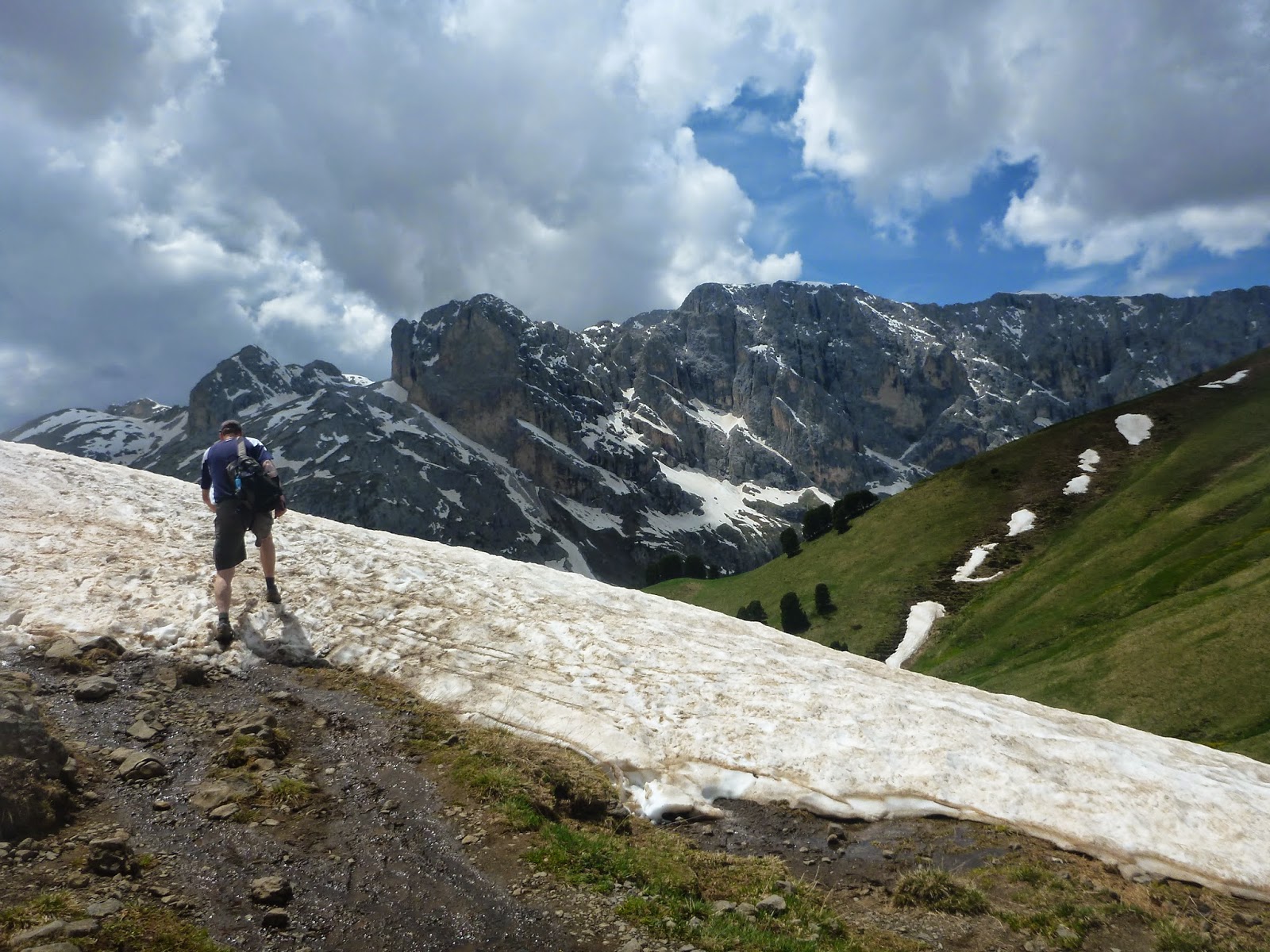
We were so high up there was snow.


Heading down we went through a cow pasture.

Finally making it to the hut for lunch.

This was a beautiful day of hiking with great weather. Such a variety of meadows, snow, alpine trail, and waterfalls.