Friday, July 4, 2014

Diamond Lake Indian Peaks Wilderness

It was an adventure getting to the trailhead called" Fourth of July". It was 4 miles of the worst road ever. Potholes 8 inches deep and big rocks to maneuver around. Our Enclave did well only hitting the bottom once. So we were surprised to see this line of cars at 8:45AM. You simply had to park behind the row of cars and walk a little further.

These are the views to the left as we begin the hike.

The trail is mostly forest with a few aspens in the beginning. There was lots of spring runoff and all our shoes were wet by the end. We tried to sidestep all the water.

You will come to this sign giving you a choice of diamond lake or Arapahoe pass trail.

The aspens will give way to limber pines.  We saw lots of wildflowers.

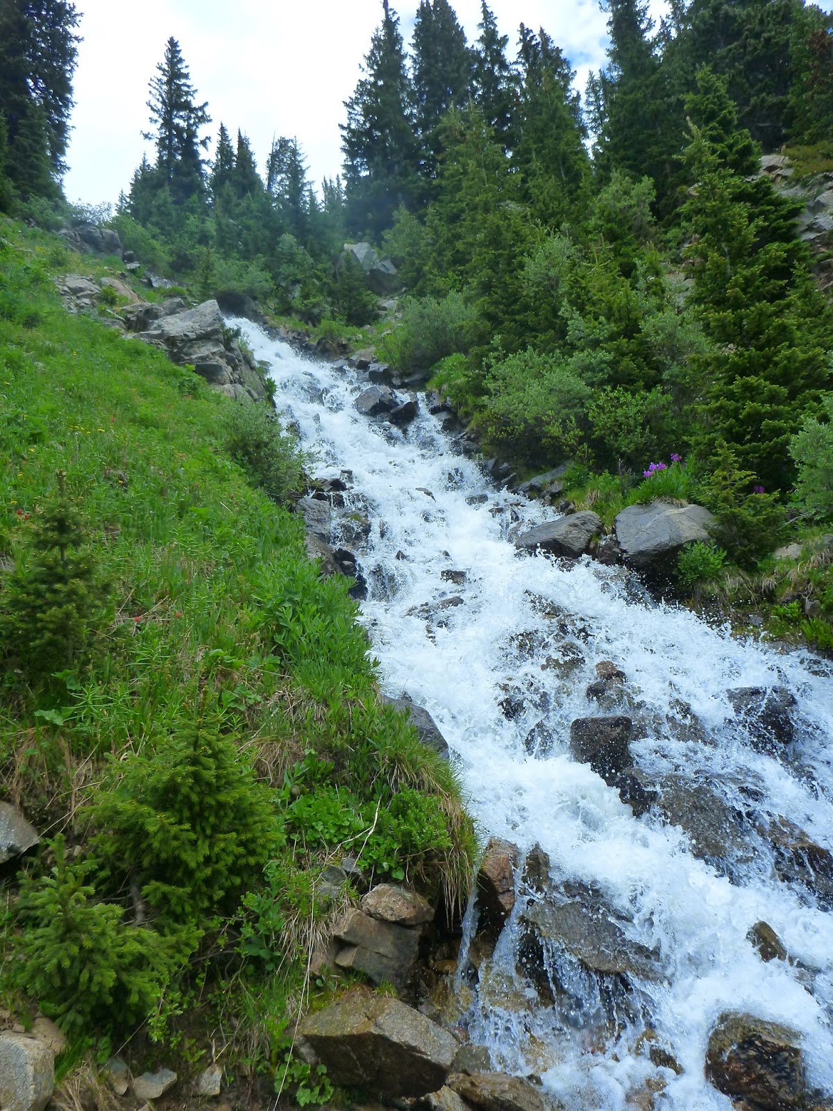
There are many waterfall crossings along the way. Try to stay dry. Poles come in handy too.

The north fork of the Boulder river creek.

Many rocks to make your way through. There was snow here and there that we expected.

More snow as we climb higher.


At this point, I put on my spikes. Look for the muddy footprints in the snow.


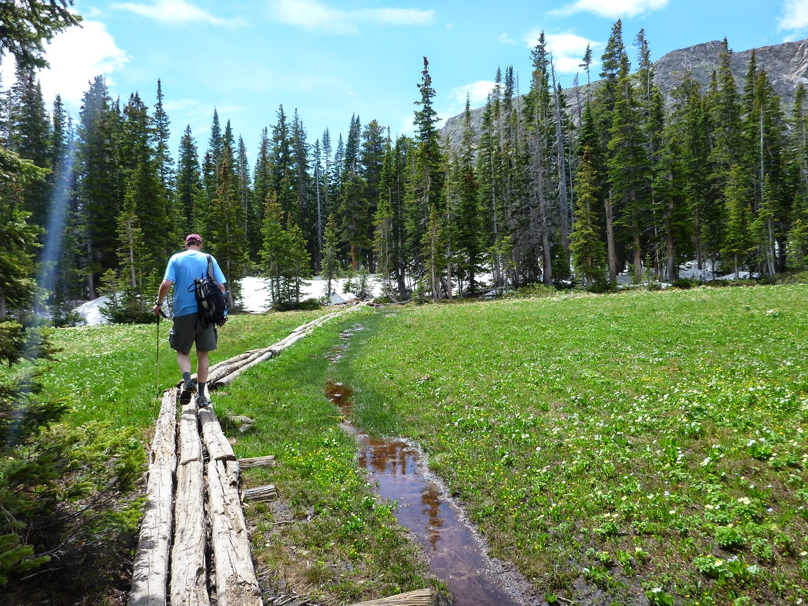
Finally we came to a large meadow.


We are so close now. Lots of flowers in the meadow.

At this sign go straight for the lake. The diamond lake trail continues along the left around the lake.


The lake was beautiful and surrounded with snow. We were glad we brought our stools to sit and eat our lunch. No bugs either. It was a well deserved rest.


Crossing the hardest waterfall. It was easier on the way back.

The waterfalls we saw made it an adventurous hike with all the crossings. We started at 10,100 ended at 10,960. 5 miles round trip.


Wednesday, July 2, 2014

Mt Untersberg Austria


This hike is great to do while you are visiting in Saltzburg. It is just a bus ride away to the town of St Leonard. There is a lift to take to the top where the trail begins. It is a short climb up on the Reisteg trail to get to this cross called Salzburger Hochthron
(6079 ft) . In Austria all summits are marked with a cross. 
The views already are gorgeous. You can even see planes take off at the Salzburg airport. This is where Ian takes off for the hardest hike in his life. We got a map at the top to view our choice of hikes. Ian hiked much farther. Actually we planned to go the same place until a fellow hiker looked at us like we were crazy when we told then where we were headed.

Everything was so green covered by trees and different vegetation. The trail ran along the sides of the hills.


Here is the view as we climbed down onto the Saddle between the next peak.

There was lots of loose rock and scree that was hard to maneuver around and not slip. I was glad to have my poles.
This was the second peak called Heubergkopf  ( 4947 ft)

There were lots of wooden steps here and there, even  a cable on some of the parts.  The people we met were very friendly, all locals. Parts were very steep and challenged us.
Here is a view from the second peak.
Going into the tunnel . It was nice to cool off.


The Untersberg is split up between Bavaria in Germany and Salzburg in Austria. Its rocks consist mainly of chalk and limestone with a subterranean caves carved by water into the inside of the mountain.

This part of the trail made me a bit nervous, note the cable to hold onto, Don't look down!

For 2000 years the Untersberg was a very important source of marble. The Untersberg marble being of the finest quality and beauty was in high demand. There are several quarries on the north-east side.  


Our destination was the Toni Lenz Hutte. Both Doug and Ian ran out of water since we hiked 6-7 hours. Here I got my coffee and a shady umbrella to rest awhile.  You can see other towns in the distance that the trail continues down to.


Here you can see how rocky a lot of the trail was.

I didn't have my GPS on for this hike so we don't know how far or the elevation gain. It was a great way to start our trip.


Here is a view from Ian's hike. He went to another peak.

Wednesday, June 4, 2014

Crags Trail Pike Peak Forest

The Crags are rock formations located south of Divide, facing the northwest slope of Pikes Peak. We chose this trail down by Colorado Springs to hike with our guests and we didn't have a choice of date (rain in forecast) This is a very wooded area and the drive in was an adventure- through a campground. It was Memorial Day weekend and we could see many campers enjoying the day. (some with dogs) This bridge crosses four mile creek and you will follow this all the way.

This was our first view of Pikes Peak- still had snow. The trail was a little wet but no snow to worry about.

You will get to a fork in the trail where you have the choice to go Devils Playground. This trail takes you up to pikes peak 7 miles one way.

As you continue along the trail , enjoy the beautiful rock formations on either side of the trail.


Further along more views of the mountains.

Here you can see the clouds rolling in, doesn't take long. 

Lots of aspens


It started raining and lightning, thunder so this was as far as we got. I had been before snowshoeing. The last part gets steeper but the views are awesome at the top. Total 4 miles out and back. Elevation gain 630 ft start at 10,150 ft.

Monday, June 2, 2014

Chilnualna Falls Yosemite

This hike is located south in the park near the Wawona Hotel. You drive through a small town to get to the trailhead on Chilnualna Falls Road.  At about .3 miles you come to the lower cascade.  This is pretty all by itself.

The trail was so green it really didn't seem like Yosemite. Lots of trees and moss.

Now the trail begins to climb up and up. The total elevation gain is 2,347 ft.

The trees are so tall...

and so wide.

The trail levels off at times to give a break to the steep climb.


Unfortunately, the higher we climbed we began to climb into a cloud.


Here we are at the top having lunch at the falls. It was hard to see much here. I read later that it is hard to get a good view anyway of the falls and it is impossible to build anything to see it either.
It was very cold and started raining so we didn't last long at the top. It was a great workout at 8.4 miles.