Showing posts with label breckenridge. Show all posts

Saturday, July 1, 2017

Mohawk Lakes- with Alpine lakes - Breckenridge


Last time I did this trail we went with snow on the ground. This time it was much prettier but still a little challenging to find the trails.
I would recommend a GPS to find your way. There are so many social trails that get you turned around. I like the app GAIA on my phone.
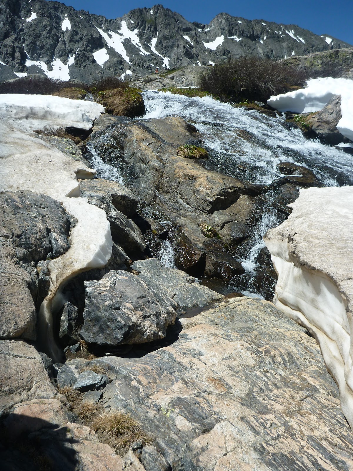
On the way up we went the way of the waterfall. We climbed to the left of the waterfall to climb up to the lakes. The falls were running fast.

There are two places to park for starting. The spruce Creek Trailhead is easier to drive to- 4WD not needed. The other option is the trailhead used for Crystal Lakes. This is a rough road (need high clearance) that cuts off some distance.

There wasnt much snow left to cross to get to the lower lake.

The Lower lake is usually pretty crowded. Keep going up the upper lake.

The lower lake was pretty dotted with snow.

There was more snow up top. We brought our spikes so didnt have any problems.


More snow as we went up. Very pretty. This time we decided to find the alpine lakes further on.


It was a little steep to get past the upper lake to the first alpine lake. But after that was realatively level.


Getting to the Alpine lakes.


There were four Alpine lakes we found.

This hike was 7 plus miles total with elevation gain of +1,810' gain. A great workout!

Thursday, October 20, 2016

Mohawk Lakes- in fall Breckenridge Colorado

This was my first time hiking Mohawk Lakes. We did this in October and there was quite a bit of snow. We started at the trailhead of Spruce Creek.


This trail is know for the many social or side trails. I took along my GPS to help keep us on the trail.


There are lots of old mining structures along the trail.

The first body of water are the Mayflower lakes.


Here is one of the hiker huts along the trail.

Inside the hut there was a log that lots of hikers had written in.  
Beautiful views all around.

There is a waterfall along the trail.

More mining structures


Finally made it to Lower Mohawk lakes.


Starting the climb up to Upper Mohawk Lakes. We needed spikes because it was so steep.


Mohawk Upper Lake. Total distance was 6.7miles with an elevation gain of +1810.


Monday, March 31, 2014

Bakers Tank Trail Breckenridge Boreas Pass

The day before our hike, Breckenridge had gotten 12 inches of snow as seen in this photo of the trailhead. We started at the Boreas Pass TH. No bathrooms here but a decent size parking lot. The turn is tricky. Look for the ice rink to make your left south of Breck at the last traffic light.

We had to break our trail as it started through a pine forest.

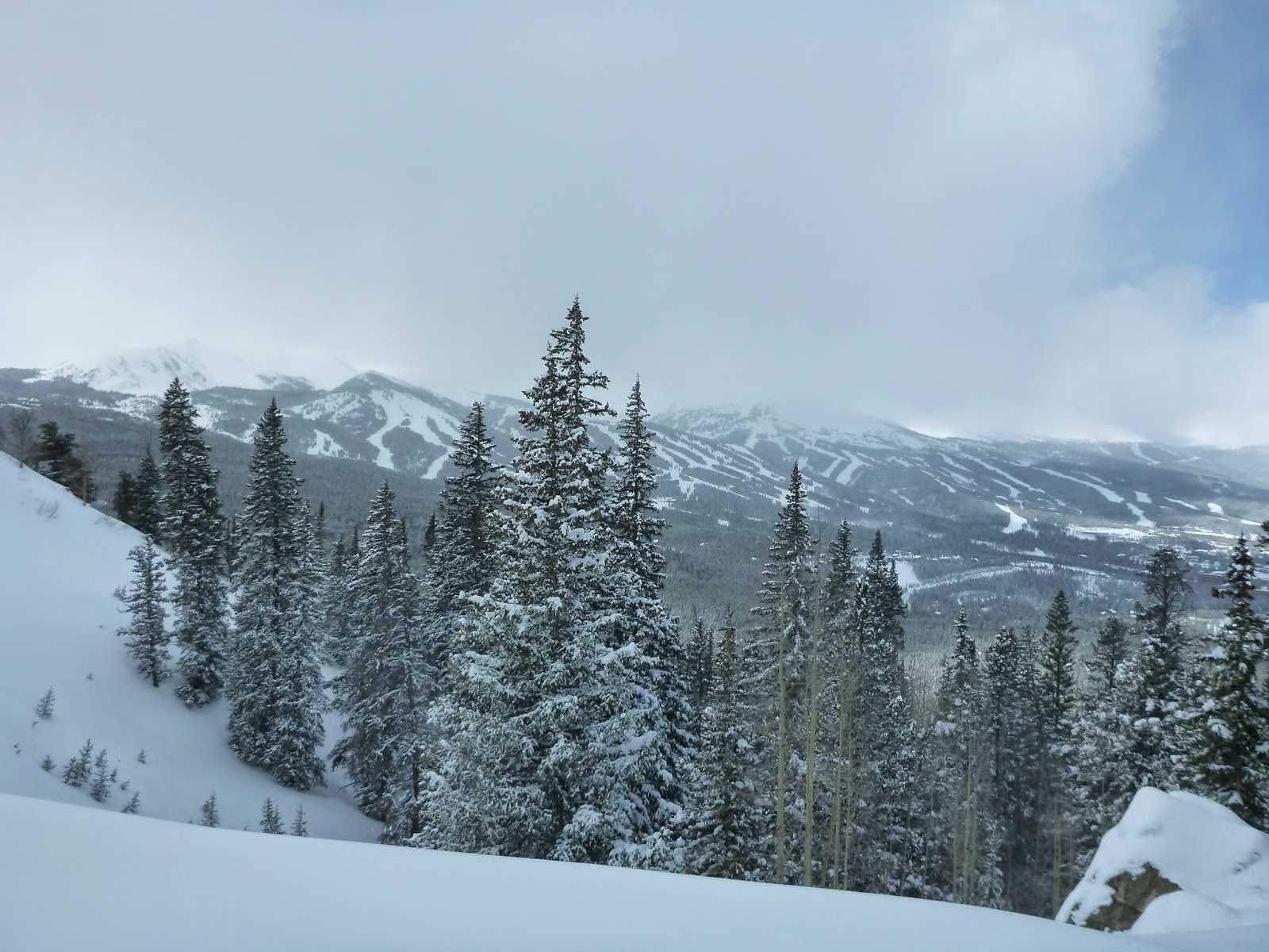
Views of Breckenridge and the Lake were to the right.

Here you can see Breckenridge Trails on the Mountain.


This would also be a great trail for XC skiing.


You will pass through a grove of Aspens.


A faraway view of Quandary Peak.

Toward the end the Ten Mile mountain range comes into view. This is named for the ten numbered peaks of the range, which measure approximately ten miles. The lower slopes of Peaks 7-10 comprise the Breckenridge ski resort.


At this point we think we are almost there....

The destination is the Bakers Tank. This tank originally fueled the giant engines going through the west portal of the Alpine Tunnel.Ore from the nearby Mountain Pride Mine was loaded here in addition to the water.


The engines drank huge amounts of water, which was replenished at the tanks. Tanks were placed below natural streams and fed by gravity. The spout hinged upright in its resting position was lowered into the open hatch on top of the tender.  The entire operation took no more than a few minutes.


Heading back the way we came.


We ran into a snow bike. Looks like a lot of work in the deep snow. The trail was about 3 miles to the tank for a total of 6 miles.
Elevation at 10,300 to 11,000 ft.


Friday, February 7, 2014

McCullough Gulch Trail near Breckendridge

Here is the winter trailhead for McCullough Gulch Trail. It is about 5-1/2 miles south of the town of Breckenridge. The buildings you see is a Condo complex directly across the street called Skiers Edge Condos. Luckily for us they had plowed the road to the parking area. Breckenridge had just gotten 36 inches of new snow in the past two days so we knew we were in for some serious snow. The actual trailhead is accessed by a road that was closed due to the heavy snow they had gotten.
This picture was taken on the drive from the town. There was so much snow , you could barely see the homes and street signs.

Here is the beginning of the trail. It was so deep we had to break the trail. Oft times you got stuck in the tree wells and we had to help each other get out as we plunged deep into the snow up to our hips.


It felt like an adventure since we really didn't know where the trail was. We had a gps that showed we were paralleling the
4 WD road.

Most of the trail took us through dense tree forest.


We took a break to make some snow angels

Here you can see how deep the snow was around the snowshoe trail.


There were a few pretty views, but because it was so hard to trek through we didn't get very far.
We went about 1.2 miles and then turned around. What concerned us was all the snow in the trees if they decided to empty and bury us. We never even made it to the summer trailhead. The ranger had told me it was 1.7 miles in.


We want to come back and do this trail in the summer to see Quandry Peak.