Last time I did this trail we went with snow on the ground. This time it was much prettier but still a little challenging to find the trails.
I would recommend a GPS to find your way. There are so many social trails that get you turned around. I like the app GAIA on my phone.
 |
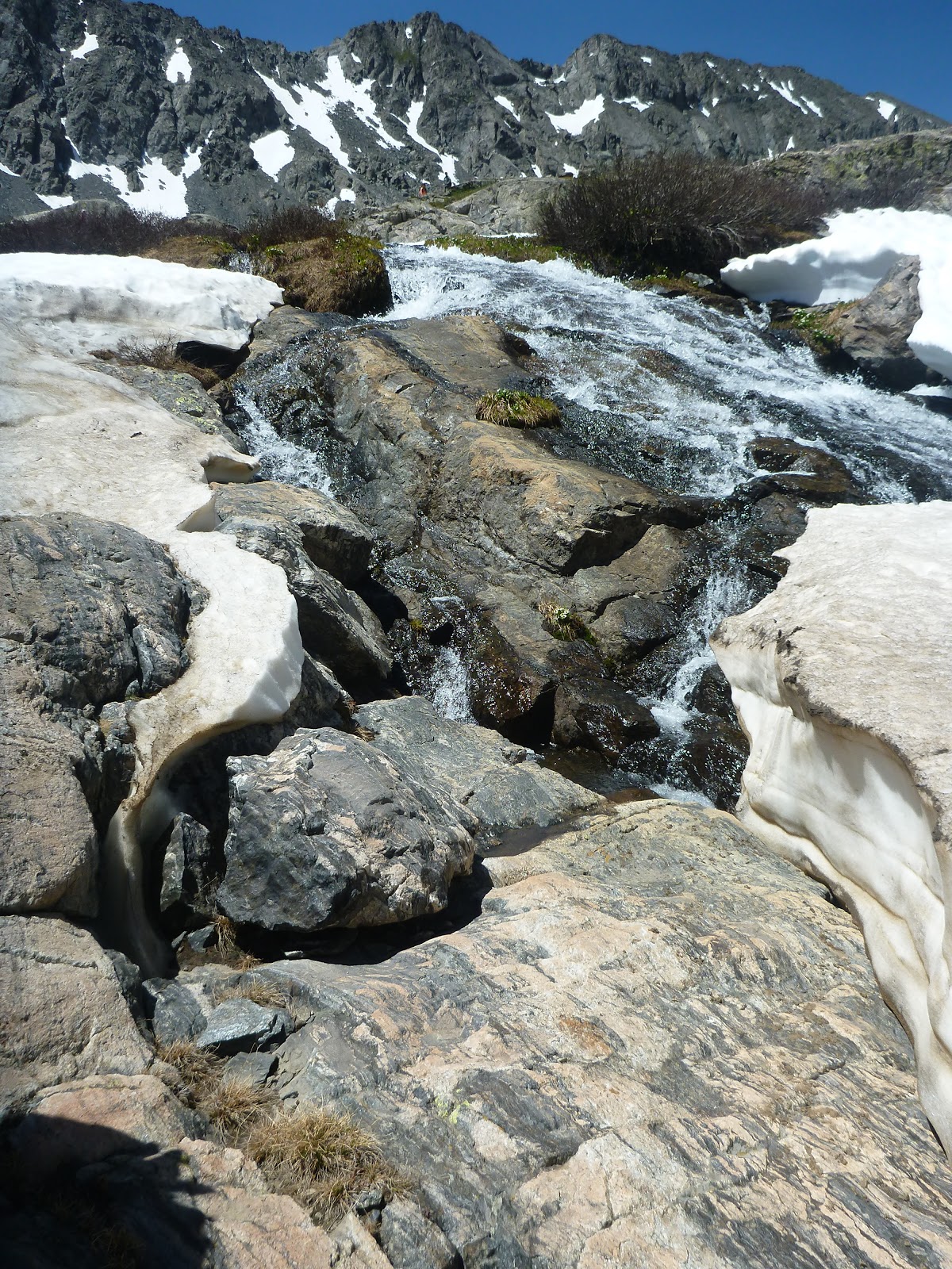
| On the way up we went the way of the waterfall. We climbed to the left of the waterfall to climb up to the lakes. The falls were running fast. |
 |
| There are two places to park for starting. The spruce Creek Trailhead is easier to drive to- 4WD not needed. The other option is the trailhead used for Crystal Lakes. This is a rough road (need high clearance) that cuts off some distance. |
 |
| There wasnt much snow left to cross to get to the lower lake. |
 |
| The Lower lake is usually pretty crowded. Keep going up the upper lake. |
 |
| The lower lake was pretty dotted with snow. |
 |
| There was more snow up top. We brought our spikes so didnt have any problems. |
 |
| More snow as we went up. Very pretty. This time we decided to find the alpine lakes further on. |
 |
| It was a little steep to get past the upper lake to the first alpine lake. But after that was realatively level. |
 |
| Getting to the Alpine lakes. |
 |
| There were four Alpine lakes we found. |
 |
| This hike was 7 plus miles total with elevation gain of +1,810' gain. A great workout! |


No comments:
Post a Comment