Tuesday, June 2, 2015

Lincoln Mountain Open Space- both Loops


This hike is close to home located off Parker Road south near the Greenland Exit  and offers some nice views of the front range. Above the mountains were initially hidden with some clouds. This Douglas County Open space park offers two separate loops or you can do both.


Here is the signpost where you choose which loop to take. Lincoln Mountain Loop which is 2.5 miles each way or the Palmer Divide Ranch Loop that is 3.4 miles each way. The Palmer side has more foliage and trees to provide shade while the other side has a Pikes Peak view and more open.

This is the Mountain Loop hike with more open meadow areas. There were some nice wildflowers this time. It was surprising the bushes still had not leafed out. 

Some of the wildflowers.

The Lincoln Mountain Trail has some easy switchbacks to get to the Junction of the Mountain Loop.

You will climb a bit till you get to the top of Lincoln Mountain.  7300 ft

Then Pikes Peak comes into view.


We decided to try the other Palmer Loop as well. Here is the beginning of the Palmer Divide Ranch Loop.

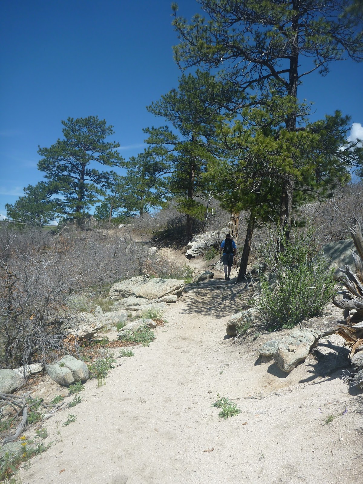
It has more rocks and higher Pine Trees. Most of the horses did this side.

This is Dewey's Hill. A very nice wooded spot to get a break from the sun.


We climbed to the highest part of the trail - the West lower rim cutoff- to see some interesting rock formations.


Here is the view from the Rock formations. At this point we decided to turn around. If you do both loops you can get 9.1 miles.


Escalante Slot Canyons

We drove to the canyons for one hour on the Hole- in the Rock- Road.   This is a washboard road -very rough.

We stopped halfway at devils garden. This was a stop with restrooms and some interesting rock formations.


The two canyons we visited were Spooky and Peek-a-boo.

It was very difficult to find the way to the canyons. I recommend a guide to take you to these canyons.  We had someone lead us that had been there before.

We had to walk along a ledge to get to the wash trail.

The landscape had many desert plants.


Walking along the wash.


Peek -a Boo canyon begins with a steps up. There was a pothole that is always filled with water.  I removed my hiking shoes.

The canyons were so fun , we never knew what adventure was ahead.


The washes were so wide and the dirt was a beautiful red color.

The textures in the canyon were so unusual.

Heading back to the cars.


Sunday, May 24, 2015

Lower Calf Creek Falls- Escalante Utah

This hike was part of our trip to Utah with a group of 20 people. We drove into the town of Escalante and headed to the trailhead for Calf Creek Recreation area.


Lots of red dirt at the start of the hike.

The landscape rocks were beautiful.

As we continued on the hike the rocks changed. We passed mineral streaked cliffs of Navajo sandstone.


Some of the trail walked along a ridge.

We hiked along a creek on the right side. Some of the trees seen were pinyon pine trees and Utah Juniper trees. 


The falls finally come into view. The lower creek falls are 130 feet high. Some people in our group waded into the pool below.

The hike to Calf Creek Falls, Lower is 5.84 miles roundtrip. This was a moderate hike with gorgeous views of rock and we saw some petroglyphs at one of the markers. There are some signs along the way that point out interesting sites. The falls was a great destination to the hike.