Tuesday, August 20, 2013

Blue Lake Indian Peak Wilderness

This was our second attempt to hike to Blue lake this summer. We were too early mid july as the road was still closed due to snow on the trails. Mid August and later is  good time to go before the snow returns. The trailhead to aim for is Mitchell Lake TH. It is hard to park there as this is a very popular hike. We got there at 8:30am and missed the parking. We had to walk an additional .6 mile each way to the trailhead. Normally the hike would be 6 miles round trip .  We drove through Nederland and the town of Ward before turning left at the Brainard Lake Recreation area and paid the $10 fee.  It was very buggy around the lakes so pack some repellant.  Here we arrived at Mitchell lake- a one mile distance from the TH.

Mitchell Lake

The next part of the trail gets more difficult with many rocks  to climb around. Wear your high top hiking shoes for this one. There are two to three moderate rock climbs with great views of Mitchell lake looking back.

There are several water crossings as you continue to hike through the pine forests. Many wildflowers were present at this time. Beautiful!

As you continue along the trail you are climbing toward the tree line. Elevation gain is 800 ft if you start at the TH. We did 1200 because of the additional hike from the parking.

Looking back toward Mitchell Lake

This is an example of one of the moderate rock climbs. It is no faster coming back down- watch your step. Hiking poles are helpful.


As you near Blue Lake the meadows come into view.

Some of the many wildflowers.

The trees begin to disappear as you climb higher.

Several streams and small waterfalls. See the snow in the background.


Cairns mark the trail as you walk over large boulders to continue on the trail.

Blue Lake. Across the lake is a small waterfall.There is also a trail that goes right around the lake to the waterfall.

Heading back

I remembered why I love this hike so much.The views of the lakes, meadows, water crossings , are spectacular.

Tuesday, July 16, 2013

Forest Lakes in the Lightning

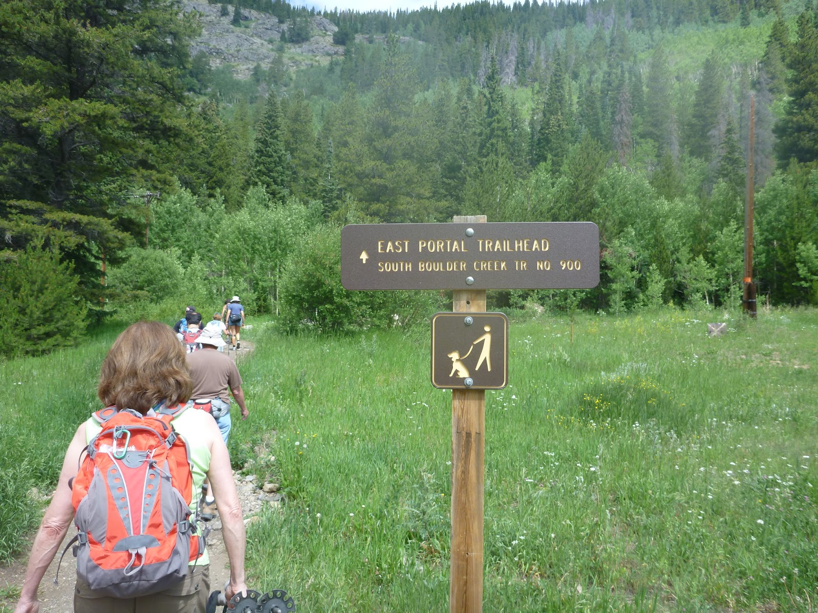
This is the start of our Hike in Rollinsville. The Moffat Tunnel is a railroad and water tunnel that cuts through the ContinentalDivide in north-central Colorado.  The East Portal trailhead begins to the right of trailhead and is signed. This is a moderate hike of 7.8 miles +1,700 elevation.


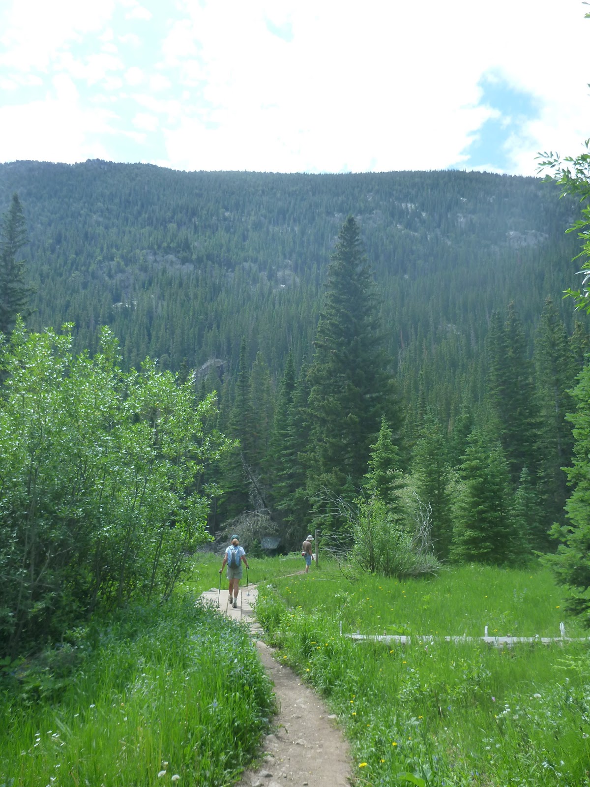
The hike begins as a beautiful meadow with towering evergreens.

You will cross many streams over boards and makeshift rocks. Some of the water was running swiftly.


After about 2.5 mile you come to a split. For Forest lakes you turn right. To the left is another trail.

The views are beautiful as you continue to climb and reach the treeline.

There were many wildflowers in mid July when we hiked.

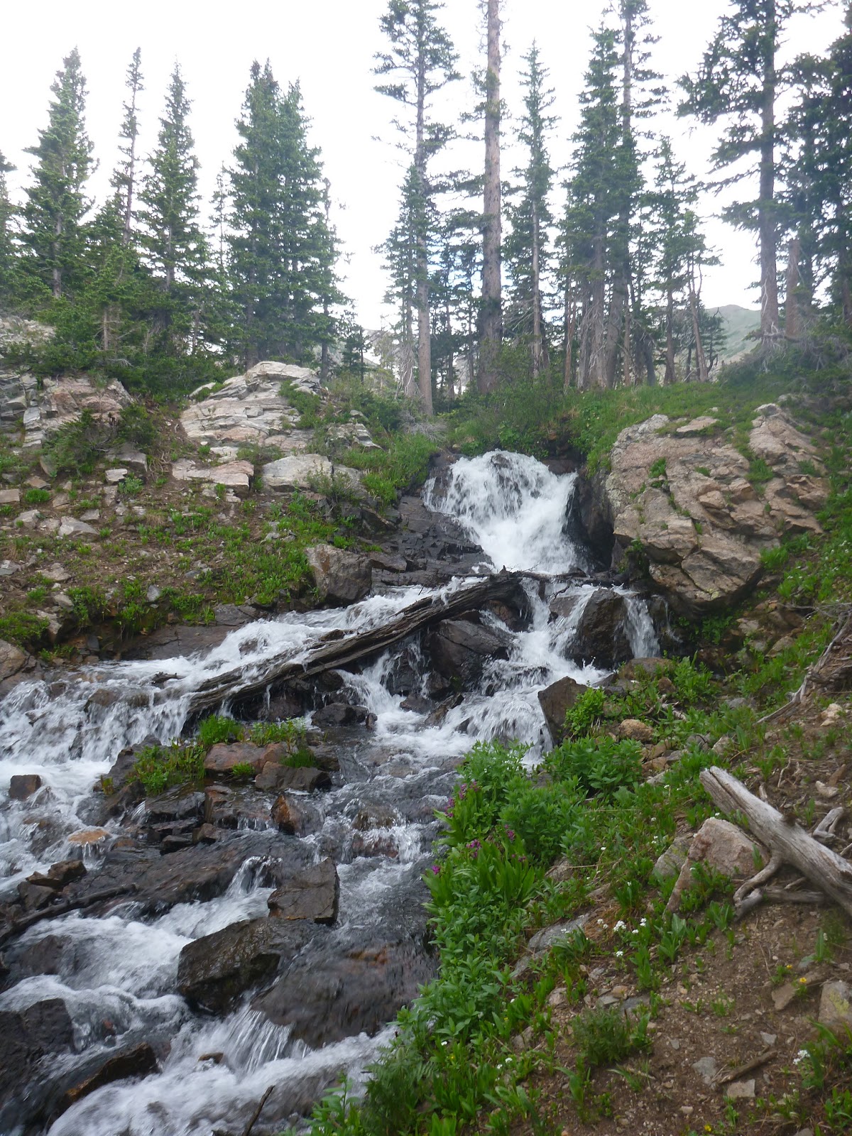
Here is one of the more challenging crossings over the cascade. See the board to cross.


Here is the lower Forest Lake. There were people fishing here. I really enjoyed this hike as it was beautiful with all the flowers, streams, forest and mountain views. Look for a bridge to the left of the lake to continue on the trail.


After the lower lake you come to a boulder field to cross the trail. It was kind of hard to find the way across. You can see the peaks in the distance. This is where I began to hear the thunder. I turned around at this point. Within a half hour it was lightning , pouring rain and hailing. The temp dropped 25 degrees and my fingers were numb from holding my poles. I began to run down the trail and found my hiking boots were NOT waterproof. The trails became little rivers of water I tried to avoid . The stream crossings were fast due to all the water coming down. There were two poor dogs and their owners caught in the storm as well and coaxed them down the mountain. My raincoat was waterproof but I had forgotten to bring my pack cover so all my layers were wet.  LESSON learned: Do not start a hike at 10:30 with a storm predicted that day.


Sunday, June 9, 2013

Bear Creek Canon Park:Palmer Red Rock Loop

This hike was in the Colorado Springs area, 6 miles moderate to Difficult level.

This was an unusually hot day for the begin of June and we decided this is more of a Fall or early spring hike because half the hike is uncovered and hot.

This is not a very well maintained trail meaning missing trail signs and map that was not helpful- we never could figure where we were. All that being said we used the directions in 60 Hikes within 60 miles and found our way.

The trail began at the section 16 trailhead describing the Palmer Red Rock Loop.   We drove CO24 to Gold Camp Road  a mile in you will come to the trailhead.

The most difficult part is the beginning, a rather steep climb giving some nice views of Garden of the Gods.

Evergreen Trees abound.


views of the foothills


Views of the plains and Colorado Springs.   We could see the Broadmoor from here.


This is the highest point with the beautiful views.


For the rest of the loop you travel gradually downward in a u turn traversing the surrounding mountains. 


Sunday, May 5, 2013

Matthews/Winters Park Morrison Slide/Red Rock Trail

The Trailhead was easy to find and plenty of parking. From I-70 at the Morrison/Highway 93 exit (exit 259) turn south. Just about .2 of a mile from the highway you'll see the sign for Mathhews/Winters Park on the west side of the road. Turn here for the parking lot.  There are restrooms at the start of the trail.

The hike begins on the Village Walk Trail about 1.1 miles to the start of the loop.


There are 5 or 6 stream crossings. I was surprised to hear and see so much running water around these rocks. I guess in May the snow was still melting.

The harder trail is the Morrison Slide Trail. This climbs up with many rocks and switchbacks to get to the top of the ridge for the great views.


There were areas of snow and waterholes in the rocks.

Views of Bear Lake and Chatfield Reservoir furthest away.


This was the top of the ridge on the Morrison Slide Trail.

Views of the rocks as we got closer to Red Rocks amphitheater. We never saw it from our hike. We even did the extra 1.1 mile hike to the other parking lot toward red rocks.


After you complete the loop you can keep going on the Red Rocks trail or take the Red rocks trail back towards the way you came. Here is the trail further south .


This picture shows the people on switchbacks up the hill on the Morrison Slide Trail.


There is a cemetery with tombstones dating 1867 off the first village walk trail. I checked it out on the way back. Total Mileage for this hike was 6.49 miles with 1,200 elevation gain.