Saturday, August 1, 2015

Glymur Falls- Iceland

Glymur waterfall is touted as the highest waterfall in Iceland. You can only view Glymur by hiking to it. There is a trail that takes you on the right side and you can continue up to the top of the waterfall.  We decided to try this hike after reading and watching directions on you tube.  Two years ago when visiting this seemed not well traveled but now many were attempting this hike. The trailhead is well marked from hwy 47.  We drove here after getting off of our flight at 6:30 AM.


We were surprised to see so many in the parking lot. The Lupines were beautiful as were the mountains with snow on them.

Looking back after starting on the hike. This is a view of botnsvogur cove.

Part of the hike takes you inside a tunnel/cave to get to the next part.

There is a river crossing with a rope and log coming up. Pretty easy but I did put my phone and passport in a plastic bag.

This is a view looking back where we came from. Basically you are following the Botsna river crossing several times till you reach the top of the waterfall.

Another crossing of the river on a log.

This section of the trail required you to use a rope while walking up and down a muddy track. 

We can start to see the steep sides of the cliffs


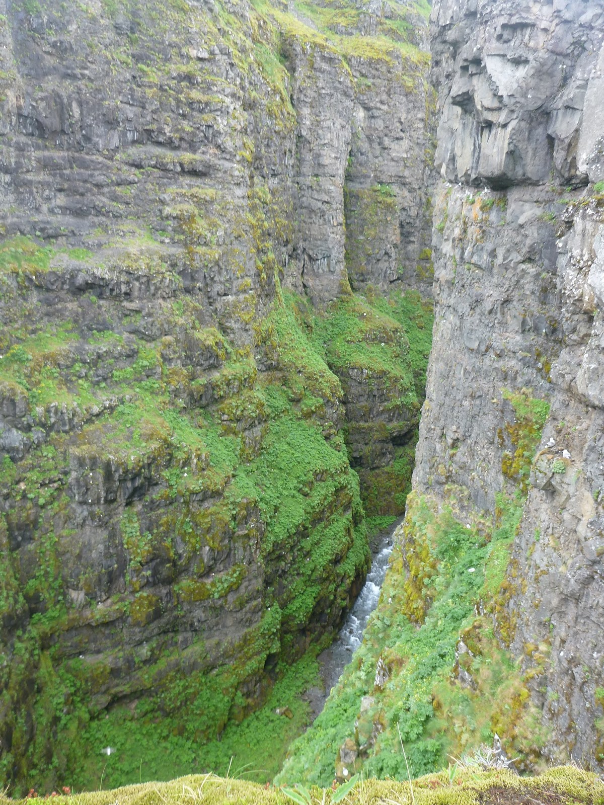
The views are breathtaking as you look down over the cliffs and continue upward.


Looking back the way we came.

When you get to the top you have to cross the river. We came prepared with sandles and towels. We removed our hiking shoes and walked across avoiding the fast flowing rapids area.

On the other side you can see the top of the waterfall (white part) and beautiful views of the mountains.


The last part of the hike on the other side was harder to find the trail. You should be going wide out away from the river. We took a path through bunches of shrubs and was very difficult. I also found a tick on my neck from all the leaves of the trees. We finally figured out where we were and connected back to the parking lot. What a great first day in Iceland!! This was an exciting obstacle course in a hike with fantastic views.

Friday, July 10, 2015

Manitou Springs Incline- 2500 steps in 2 miles!

We drove to climb the Manitou Incline in the middle of the week after trying on Saturdays. It is just too crazy busy to find a parking space.  This pic tells of some of the people trying to climb that were out of shape.
As you look up stairs as far as you can see.

At the halfway point they give you the opportunity to quit and take the Barr trail down from here.


I decided to take my poles and they really helped on some of the steeper steps. It took me 70 minutes and my friend did it in an hour.

When you get to the top you take the Barr Trail down. It is much more gradual of a descent and pretty with trees and rocks.


It was foggy and so helped with the heat. I would recommend to do this in the spring or fall. Summer it gets too hot.


Finally we could see the town in the distance.

Parking is very difficult. Turn right at this sign on Ruxton Avenue.  This is past the parking lot for the cog railway where you cannot park.  It is all the way at the end of the street.  This lot is for the hiking.


Wednesday, July 1, 2015

Boulder Lake- Silverthorne


Boulder lake is located in the Eagles Nest Wilderness near Silverthorne. This is a moderate trail 5.7 miles round trip with 1,365 elevation gain.


The trail travels through montane and subalpine forests to the lake. Lodgepole pines were attacked by pine beetle in areas.
We passed a roaring waterfall along the way.


Turn left onto the Boulder Creek Trail.

There are areas of water and lots of wildflowers.


Nice views along the way.


Finally the Lake. It was a great place for lunch.


We saw four moose in a meadow with willows about 1/4 mile from the lake. A great ending to the hike.

Chicago Lakes Trail- Mount Evans Wilderness

Chicago Lakes are in the Mount Evans Wilderness area. This hike has many interesting sites along the way. Because it was a Saturday, we got an early start. We parked at the   trailhead to avoid walking all around Echo Lake.

Here is Echo Lake , quiet and still. When we finished the hike it was crazy busy.

The trail begins through a wooded trail after you leave the lake.

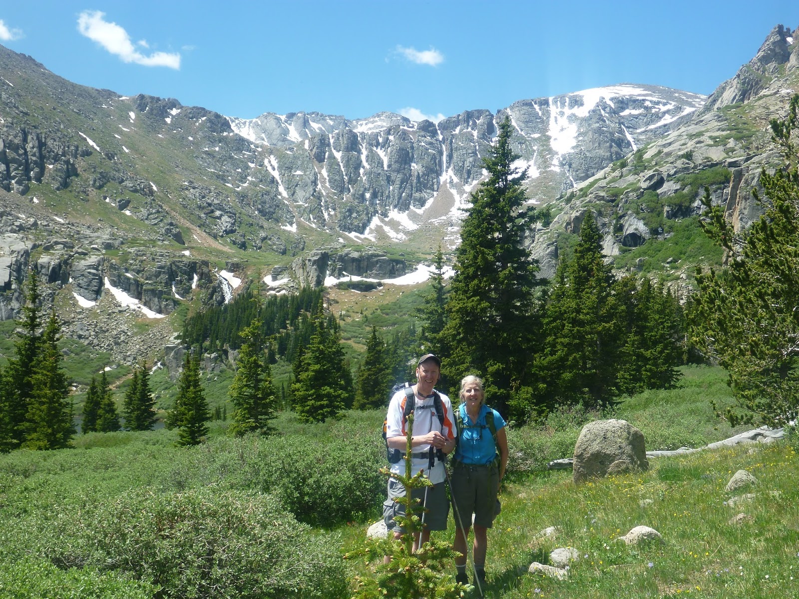
Already there are nice views of the mountains.


Soon you will come to a wide road. This you take for about a mile and leads to the Chicago creek reservoir fishing area.


This is the map. I took a picture as you cant find this online.


As the trail continues the mountains quite close on your left are beautiful.

Walking through some high willows.

Scrambling over rocks begins and will get more adventurous.

Here is an old forest fire area coming back to life.


The wildflowers were awesome this year from all the rain we have been getting.


Here you need to climb over some boulders and it gets interesting. At this point we turned back after getting to the first lake. There is another lake further up about 1/2 a mile.

Chicago Lower Lake- still snow on parts!!

Here shows some of the bunches of mud we had to walk through.


The view was totally worth the hike. Total distance is 4.2 miles each way to lower, 4.8 to upper.