Saturday, March 14, 2015

Staunton State Park, Borderline/ Old Mill Trail

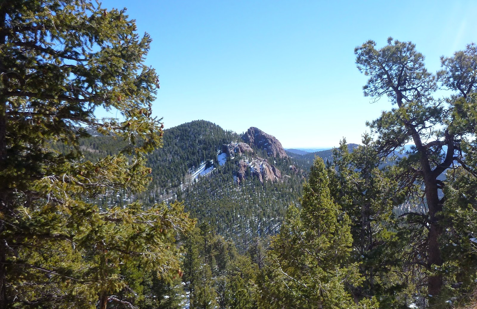
This is the view from the first Parking lot. I would recommend you head to the second lot a bit north unless you are doing the davis ponds.

We began on the Staunton Ranch Trail through trees. We saw aspens and Pines.


There are lots of Rocks in the area but we didnt see any climbers today.


We passed several creeks.


More rocks. There is a designated place for climbing on the Borderline Trail.


The borderline trail has many switchbacks through forest to get to the Overlook up to 9300 elevation. 

The snow was deeper as we got to the top.


View from the overlook.


The Old Mill Site.

Looks like where they stored their firewood.

Remains of the mill and  historic buildings.


We followed a creek on the Old Mill Trail back to the parking lot.


Final Views before heading home. We calculated 9-1/2 miles.

Sunday, March 8, 2015

White Ranch Park, Belcher Hill Trail & Longhorn Trail


White Ranch is a Park Just west of Golden. There are two different sides to park on. Our group started on the west side off of Crawford Gulch Road. We started at the second parking lot in. There was restrooms at the parking area a little walk away.

There were views toward Mesa here as we began. The trail began going downhill. That is always a problem. We started at 7000 ft and headed down to 6800.

There was just enough snow you could use your spikes but no snowshoes necessary.

We headed through Ponderosa Pines.


We took the Longhorn trail and connected with the Belcher Hill Trail.

We saw people coming from the other parking lot and that seemed a better direction as it was all uphill on the way back around the loop to the parking lot.


Toward the end we came upon the Ranch. From 1913 to 1974, the Paul White family owned and operated the land as a commercial cattle ranch. After Paul White’s death in 1969 she gave the land to Jeffco Open Space. The total miles was about 5 miles. There are so many different trails you can do a different trails each time.

Monday, February 16, 2015

Hiking the winter trail to the Loch at Rocky Mountain National Park


Some of the trail was along a ledge, made it hard to get your balance without snowshoes. There were X-country skiers below another trail.


Trail starts off easy and level.


We chose a beautiful day to snowshoe to the Loch Lake. Some didnt bring their snowshoes-big mistake they had to turn back.
Soon you will come upon Glacier Jorge Junction, the start of the trail to the Loch.

We started at the Glacier Gorge Parking Lot. This is smaller than Bear Lake and fills up fast. The total hike was about 5.5 miles total. The trail was difficult to find and I was glad to have a gps when we were unsure of the way to go.

Lots of options at the junction. Its always harder to find your way after a snowfall.


Finally we get a view of the mountains ahead. Beautiful!! The trail passes between two Glacier knobs.

The trail gets steeper , the closer you get.
Soon you are doing switchbacks to get to the top.


Going down it was easier to slide. It was so much fun!
One of my favorite snowshoe trails.


The view at the Loch! Breathtaking! It was so windy we could hardly stand up.