Saturday, January 18, 2014

Deer Mountain- Rocky Mountain National Park


To access Deer Mountain Trailhead you make a right after leaving Beaver Meadows Visitor center. There wasn't a lot of snow . We carried our snowshoes halfway up the mountain. I used my microspikes since the trail was snow-covered.

The trail heads up gradually but soon leads to many switchbacks. The distance is 3 miles to the summit from the trailhead. 1,061 elevation


The views are beautiful as we head to the top.

A lot of the trail heads through forest area. You never get above tree line. We kept thinking we were at the top. The trail levels off and even heads down a bit as you cross over to the other side of the mountain. Here the views are great. Below is Estes Park Lake and the town.


We saw unusual trees at the summit. Great Views all around.


Here you can see St Marys Lake. There wasn't much snow this week in January. We started about 10 am and took 4 hours total.


On the way down it was harder to find the trail as the snow was melting.


Thursday, January 2, 2014

Carpenter Peak Roxborough State Park


I had been wanting to go to roxborough Park to see the snow on the red rocks. These rock formations remind me of the type at red rocks. This is located west of Castle Rock south of the Chatfield reservoir.

We tried to go last year for a snowshoe but the ranger couldn't get the road plowed to open the park. There was not enough snow for a snowshoe but we definitely needed our spikes.  It was snowy on most of the trails and slippery too.

The carpenter Peak trail is the longest and most challenging in the park. The brochure says 6.4 miles. We climb to 7,160 ft at the peak and started at 6100. At the trailhead there are bathrooms.

There are many oak scrub trees that I imagine would be beautiful in the fall.

We start near the rocks and eventually lose sight of them.


The rocks are getting smaller


As we get higher the views start to appear.
A

The trail winds into the forest at times. This seems a bit narrow for snowshoeing.


Keep following the Carpenter Peak signs.

Here we intersects with the Elk Valley trail

Heres the view at the false summit. But there was a nice bench to sit down here.


Through the forest again to get to the top of the peak.

Parts of the trail in the sun side were completely melted. But most parts were snow-covered.


Here at the top we had a bite to eat. Great Views in every direction.


This was a very fun hike. But I would like to come back and snowshoe.

Wednesday, January 1, 2014

Snowshoe at Butler Gulch in Empire

The day we chose for our snowshoe was New Years Day.  The roads were very slick as it was snowing pretty good. We were afraid to get our cars stuck at the trailhead so we decided to park here at the Henderson mine. This added another .5 mile to our hike. This hike is located from I-70 through the town of Empire on Rt 40. Turn right at Co rd 202. You can see how deep the snow was already. There are no restrooms at the trailhead.

Here is the actual trailhead for Butler Gulch. Once you get up here, you are protected from the wind. We wore all our layers and never took any off. 


After a little way you will come to a gate. to the right is a hill some of us slid down. The elevation we started at was 10,100. Total gain was 1,155 ft. We went 2.25 miles and then turned around. Total to the top of the continental divide would be 2.25 miles if you started at the actual trailhead.

There was so much snow. We took a couple off shoots through the trees. It was magical!


We pulled up Ed after he slid down the hill.

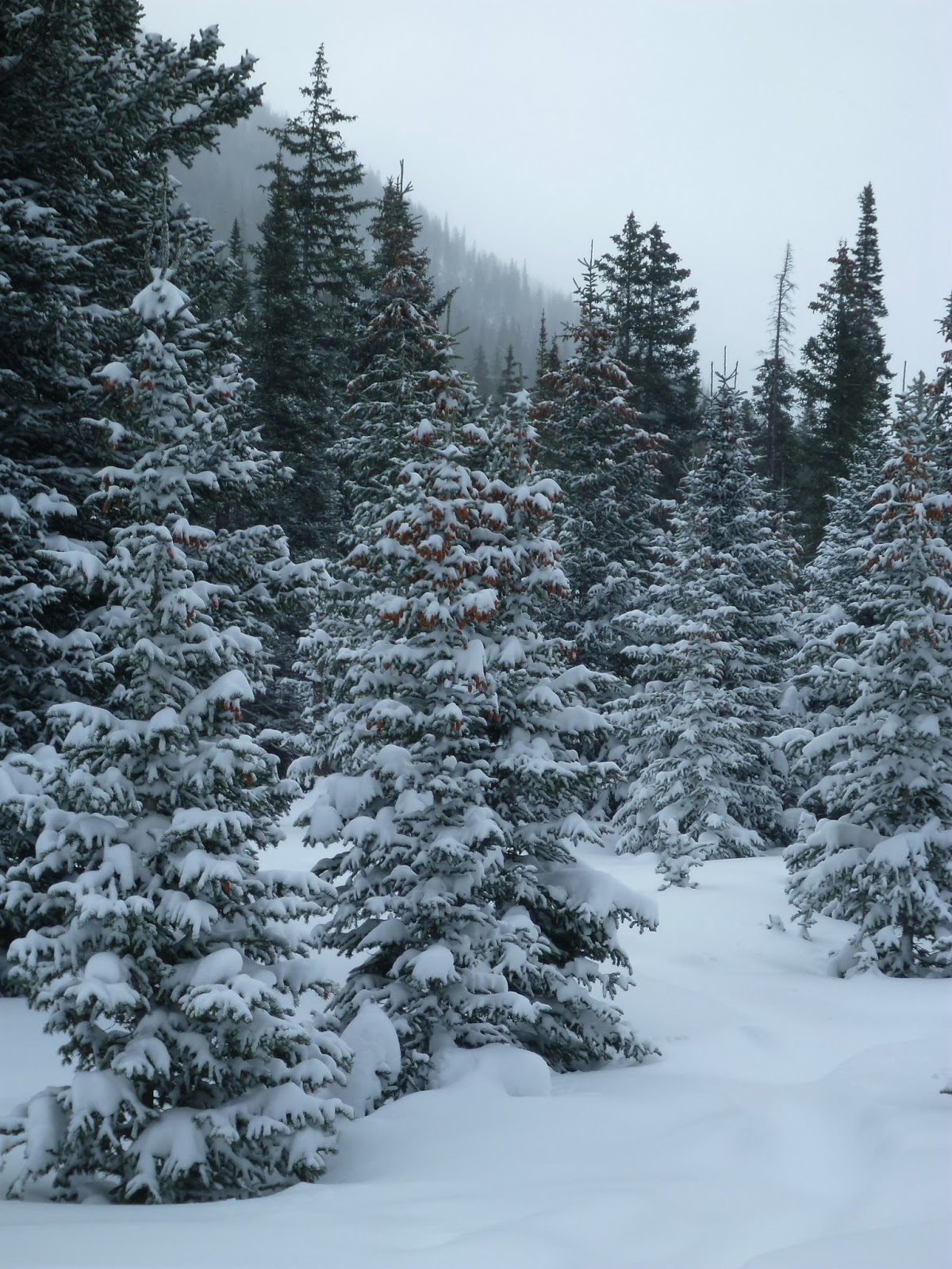
The pine cones on the tree.


At the end of the hike we felt we were in a snow globe. After reading up on this hike, there are supposed to be tons of wildflowers here and a nice river.  Ill have to come back again in July after the snow melts in the summer.

Monday, November 18, 2013

Plymouth Mountain Loop at Deer Creek Canyon Park

This is a nice trail for anytime of year. I have snowshoed this trail as well. There are some nice views as far as downtown, Chatfield Reservoir. There is one parking area off of Deer Creek Canyon road.  There is a sign where to turn off to the trailhead.

There are restrooms at the trailhead and a large parking area.  Go left at the trailhead to start on Plymouth Creek Trail. The trail slowly climbs.

Don't miss the views toward the East. The red rocks will be there year round.  


When you get to the intersection with the Meadowlark Trail, there is a bridge over Plymouth creek.  You will turn right and head up a steep hill. There are steps in places. Its amazing to watch some bikes head up and down here.


Heading up the steep hill.

More views when you get to the top. Now you are on the Plymouth Mountain Trail. This will loop around back to the first trail,  Plymouth creek. Its a Lollipop trail.


Next you will head through a forrested area.

There are trail maps available at the start. You can see there are several other options for trails on this hike. We did 5.6 miles with a 1,200 elevation gain.