Sunday, March 3, 2013

Caribou Ranch - Bluebird Mine, Delonde Trail

This hike has a nice variety of open areas and wooded paths.  The initial trail is the Switzerland Trail. This used to be tracks of a narrow gauge railroad with the finest scenery on earth. The train went from Boulder to Ward. The BlueBird mine was named for the blue azurite mineral often found in silver ore.


The trailhead is located just outside of Nederland. There are bathrooms at the trailhead. The trail starts off 1.2 miles until you get to the loop. We took a left when we got to the intersection of the BlueBird Loop.


There were many aspen trees, ponderosa pine, douglas cir and lodgepole pines.  This would be a great place to come back in the fall.


You will soon meet up with the BlueBird Loop trail. This will lead to to the mine if you wish to add on some mileage and explore the historic buildings.  Usually you have to make your own trail here. So its another bonus of a workout. When you see the fence, to the right is a path that heads to the mine.
This Bunkhouse is the first building you encounter as you leave the main trail toward the mine.  This is the bunkhouse that the miners used to sleep.  It was also a photogenic stop from the railroad when the tourists rode the train. They loved to all pose in front and even some movie scenes were filmed here.


Past the bunkhouse is another house. The mining here began in 1880. Miners worked 10 hours a day in the mine 6 days a week.


This brick and stone house was modern for its time in 1941. It had wired electricity. There was a"pool" next to the house but never used for swimming because at 10,000 ft it was never warm enough.  Instead they kept their trout they caught fishing so they were readily available to eat.


This is where the mine entrance once was. There is also a rusted car nearby as well.


After a while on the loop you will come to the DeLonde Homestead from 1870


Sunday, February 24, 2013

Spruce Mountain Loop Trail (Near Palmer Lake)

This hike is close to the denver metro. Just off I-25 going south off exit 167. We passed many trains as we were traveling down to the trailhead. This is far enough from the interstate that you don't hear it but softly blowing trains.  The hike does a loop around a butte (Spruce mountain) with views of  Pikes peak, rampart range and the Palmer Divide.
This loop hike is only 5.5 miles . There is a lower and upper loop. There is not a huge parking lot but they do have a bathroom.

There are two ways to go at the start to get to the loop, Oak Shortcut is steeper or the regular ascent to the top of the butte.  When we started there was not much snow but wished I had my snowshoes as we ascended to deeper areas.

Sandstone rocks peek out as you hike.  Vegetation on the mesa includes scrub oak, douglas fir, and Ponderosa Pine.

The elevation starts at 7100' and ascends to 7620 feet. Easy level hiking. Dogs allowed on leash.
Paddock's Point is a lovely overlook of ranch land and Eagle Mountain, a sandstone formation to the west.

There are many great spots for a picnic lunch.


The snow got deeper in spots you may want to have your spikes and snowshoes with you.

This sign shows the two ways for the loop. Go either way .


Sandstone cliffs and mountain views

This hike was a beautiful easy hike with views and variety of switchbacks, trails along ridges, and through trees. There are several ways to go so I recommend you print out a map.


Saturday, February 9, 2013

Snowshoe - Nymph, Dream and Emerald Lakes- RMNP

 This is a snowshoe up to Nymph Lake and then using the winter trail we headed  on to Dream Lake.  Here is Nymph Lake. It was a great day because the park had snow two days before.
 In some areas we had to make our own tracks but other places it was packed down. There was some moderate climbing uphill until we got to the lake.

Sometimes we went through trees  In the winter there are many ways to get there as the trail is not the same as for the summer hiking.


 There were many tracks all over the park because rangers were looking for a lost hiker. We heard helicopters and saw some rescue dogs.
It was so cold and windy when we crossed Dream lake. The ice was frozen. But the views were beautiful.

This Hike had aTrail Length: 4 miles round trip
Elevation: 9,475 ft -10,140 ft

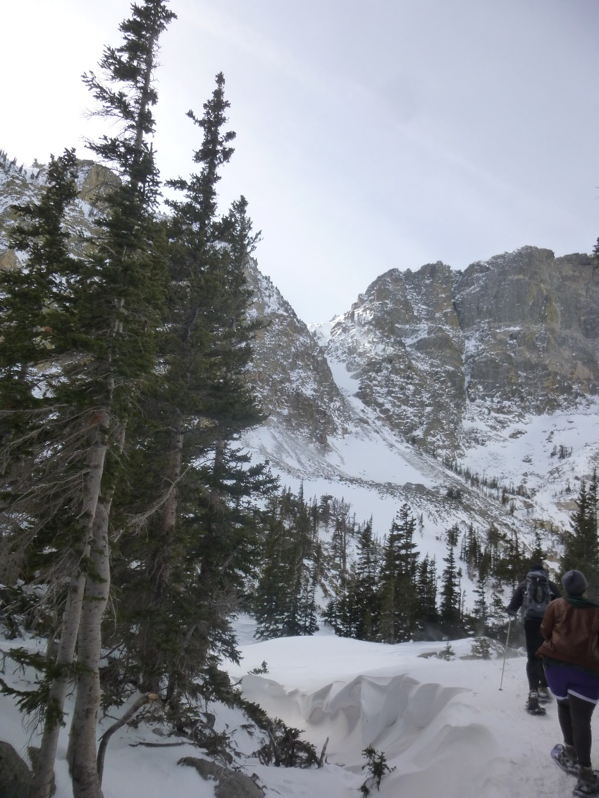
Emerald Lake is a half-mile beyond Dream Lake and is achieved after another short accent that winds through the trees. It sits below Hallett Peak,

 We made it to Emerald Lake. It was too cold here to have our snack break.


 Our group enjoyed some Hot Cocoa and Schnapps with some cookies before heading back.
Can you tell how cold it was here?


 The trees were full of snow.
 We ran into some search and rescue teams on the way back.
We even got on TV for a few seconds on the evening news.  Unfortunately they found the hiker the following tuesday. It was too cold to survive that long.