Sunday, February 24, 2013

Spruce Mountain Loop Trail (Near Palmer Lake)

This hike is close to the denver metro. Just off I-25 going south off exit 167. We passed many trains as we were traveling down to the trailhead. This is far enough from the interstate that you don't hear it but softly blowing trains.  The hike does a loop around a butte (Spruce mountain) with views of  Pikes peak, rampart range and the Palmer Divide.
This loop hike is only 5.5 miles . There is a lower and upper loop. There is not a huge parking lot but they do have a bathroom.

There are two ways to go at the start to get to the loop, Oak Shortcut is steeper or the regular ascent to the top of the butte.  When we started there was not much snow but wished I had my snowshoes as we ascended to deeper areas.

Sandstone rocks peek out as you hike.  Vegetation on the mesa includes scrub oak, douglas fir, and Ponderosa Pine.

The elevation starts at 7100' and ascends to 7620 feet. Easy level hiking. Dogs allowed on leash.
Paddock's Point is a lovely overlook of ranch land and Eagle Mountain, a sandstone formation to the west.

There are many great spots for a picnic lunch.


The snow got deeper in spots you may want to have your spikes and snowshoes with you.

This sign shows the two ways for the loop. Go either way .


Sandstone cliffs and mountain views

This hike was a beautiful easy hike with views and variety of switchbacks, trails along ridges, and through trees. There are several ways to go so I recommend you print out a map.


Saturday, February 9, 2013

Snowshoe - Nymph, Dream and Emerald Lakes- RMNP

 This is a snowshoe up to Nymph Lake and then using the winter trail we headed  on to Dream Lake.  Here is Nymph Lake. It was a great day because the park had snow two days before.
 In some areas we had to make our own tracks but other places it was packed down. There was some moderate climbing uphill until we got to the lake.

Sometimes we went through trees  In the winter there are many ways to get there as the trail is not the same as for the summer hiking.


 There were many tracks all over the park because rangers were looking for a lost hiker. We heard helicopters and saw some rescue dogs.
It was so cold and windy when we crossed Dream lake. The ice was frozen. But the views were beautiful.

This Hike had aTrail Length: 4 miles round trip
Elevation: 9,475 ft -10,140 ft

Emerald Lake is a half-mile beyond Dream Lake and is achieved after another short accent that winds through the trees. It sits below Hallett Peak,

 We made it to Emerald Lake. It was too cold here to have our snack break.


 Our group enjoyed some Hot Cocoa and Schnapps with some cookies before heading back.
Can you tell how cold it was here?


 The trees were full of snow.
 We ran into some search and rescue teams on the way back.
We even got on TV for a few seconds on the evening news.  Unfortunately they found the hiker the following tuesday. It was too cold to survive that long.

Wednesday, January 30, 2013

Key Summit/ Routeburn New Zealand

This hike is in the Fjordland at the start of the Routeburn Track.  We found there to be many famous hikes called Tracks.  The one supposed to be the best is the Milford Track. This Hike starts at the Divide Shelter.
Hikers ascend through  a forest with no views until you get to the top. It is a steady and steep climb for about 30-60 minutes.


Our guide Lauren from Active NewZealand
A fork in the trail will take you to continue on the Routeburn Track or to the right to climb to Key Summit.
Jagged snow-capped peaks rise- seem so close.


Saturday, January 19, 2013

Loch Vale Trail- Rocky Mountain National Park

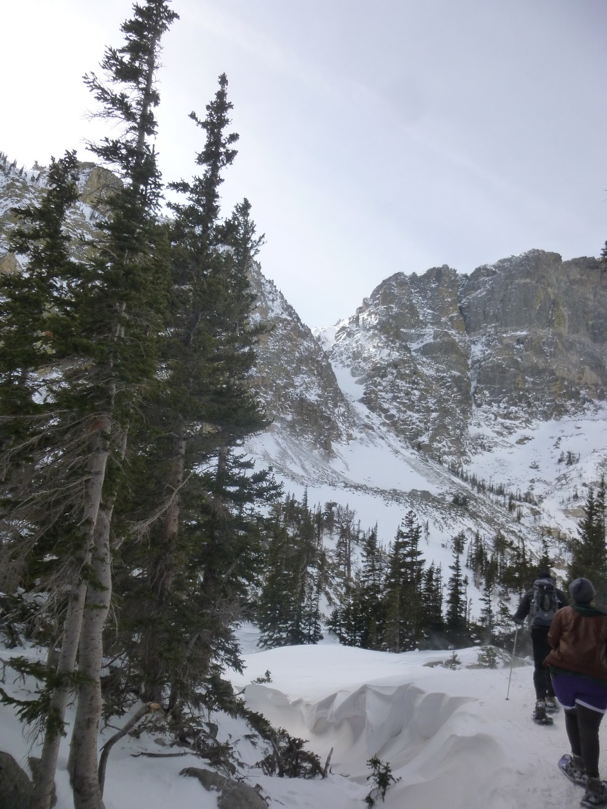
 We chose a clear sunny Day for our snowshoe at Rocky Mountain. We started at the Trail Head at Bear Lake. The one at Gorge Glacier was full by 10:35 am when we got there.


This was more of a moderate hike since there were some steep climbs and skinny ridges we had to maneuver around.

There are several different ways you can get to the Lake. On the way there we took a shortcut that was mainly in the shade and trees.This was about 2.3 miles to the lake.

 This is a view from the ridge on the way back. We took the traditional trail on the way back and saw some spectacular views of the valley. It was also in the sun and had areas of no snow. We had to take off our snowshoes and put on our microspikes.
This is Loch Lake when we got to our destination. It was not all frozen , just sections of it.


Loch Lake

 Going back to the Trailhead was mostly downhill. It was so steep it was faster to slide down.
There was a hill at the very end 1/2 mile or so to the parking lot.


 It was fun to scramble around the obstacles and figure the best route without getting into the deep snow in parts.
Another view on way back. This way took us 3 miles for a total of 5.6 miles in about 3-1/2 hours.

This was our group that took the more scenic route.